Author: Office of Energy Efficiency & Renewable Energy: Published October 29, 2018
Success Story: Location, Location, Location
Smart Power Maps, a software tool developed by GeoCF with funding from SETO, helps solar developers determine the best place to install large-scale systems quickly and efficiently. The company invented a mapping platform that pairs a site’s characteristics with financial modeling tools that can help developers predict how much solar energy a system can generate at a particular site and how long it would take to pay back that system. Smart Power Maps has already been used to evaluate more than 250 gigawatts of solar projects, and GeoCF recently entered into an exclusive license agreement with Texas-based project developer 7X Energy. Read more.
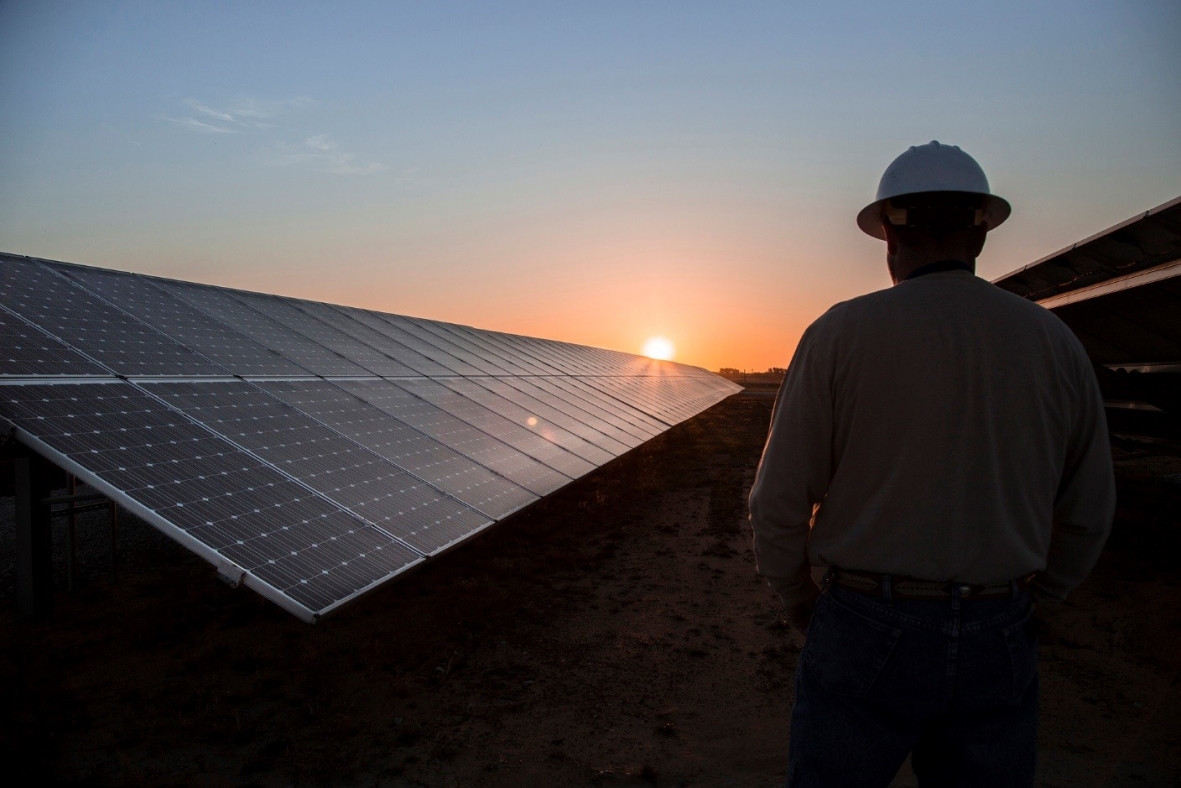
A worker watches the sunrise at the 2 megawatts CoServ Solar Station in Krugerville, Texas. Photo by Ken Oltmann/CoSer
Utility-scale solar plants—ones that exceed 2 megawatts (MW)—can power thousands of homes and are being built faster than any other type of solar system in the country. However, finding an ideal location for these plants, which can occupy hundreds of acres of land, isn’t easy.
Just like a homebuilder may prioritize locations in a certain school district or so many feet away from a known flood zone, a utility-scale solar developer needs to find a site that can meet a complex set of energy production and grid-related demands. These factors can quickly complicate a project before construction even begins, causing developers to spend time and money on expensive studies.
Solar software company GeoCF is tackling these questions with technology that can reduce the complexity of finding a site, helping users save thousands of dollars.
With funding from the U.S. Department of Energy’s Solar Energy Technologies Office (SETO) in 2015, GeoCF created a first-of-its-kind mapping and economic projection software tool that can simplify site selection. Called Smart Power MapsTM, the platform combines geospatial data, county-level data, and area-specific characteristics to evaluate site suitability and acquire necessary permissions for development.
The resulting platform is a map that includes thousands of data points ranging from a site’s topography to its property taxes and proximity to transmission lines. This data is used to model how much electricity a solar system could produce and assess local financial impact, improving the ability to find a site that yields the best return on investment. Smart Power MapsTM also reveals potential challenges in permitting, array design, and construction, thereby reducing the time it takes to connect to the grid and begin producing power. These features can make a solar project more attractive to investors, helping to lower interest rates and lead to even more savings over the lifetime of the solar system.
SETO helped GeoCF take its platform from an early-stage version, which offered a limited range of regions and features, to a comprehensive tool that includes the entire country. It added new map layers that contain information related to soil types, comprehensive floodplains, wells, pipelines, and provides developers access to additional detailed information. In addition, GeoCF worked with SETO to automate the calculation of grid-related constraints, greatly reducing site evaluation times.
Smart Power Maps has been used to evaluate more than 250 gigawatts of potential solar projects and its technology was so impactful, Austin, Texas-based utility-scale solar developer 7X Energy, Inc. secured an exclusive license with GeoCF to use its Smart Power Maps technology in June 2017. 7X Energy used Smart Power Maps to jointly develop one of the largest solar PV projects in Texas—the 315 MW Phoebe Solar Project. They use Smart Power Maps to support optimal project design, minimizing risks and leadings to a lower cost of solar electricity for its clients.
Learn more about the Solar Energy Technologies Office’s technology to market research.